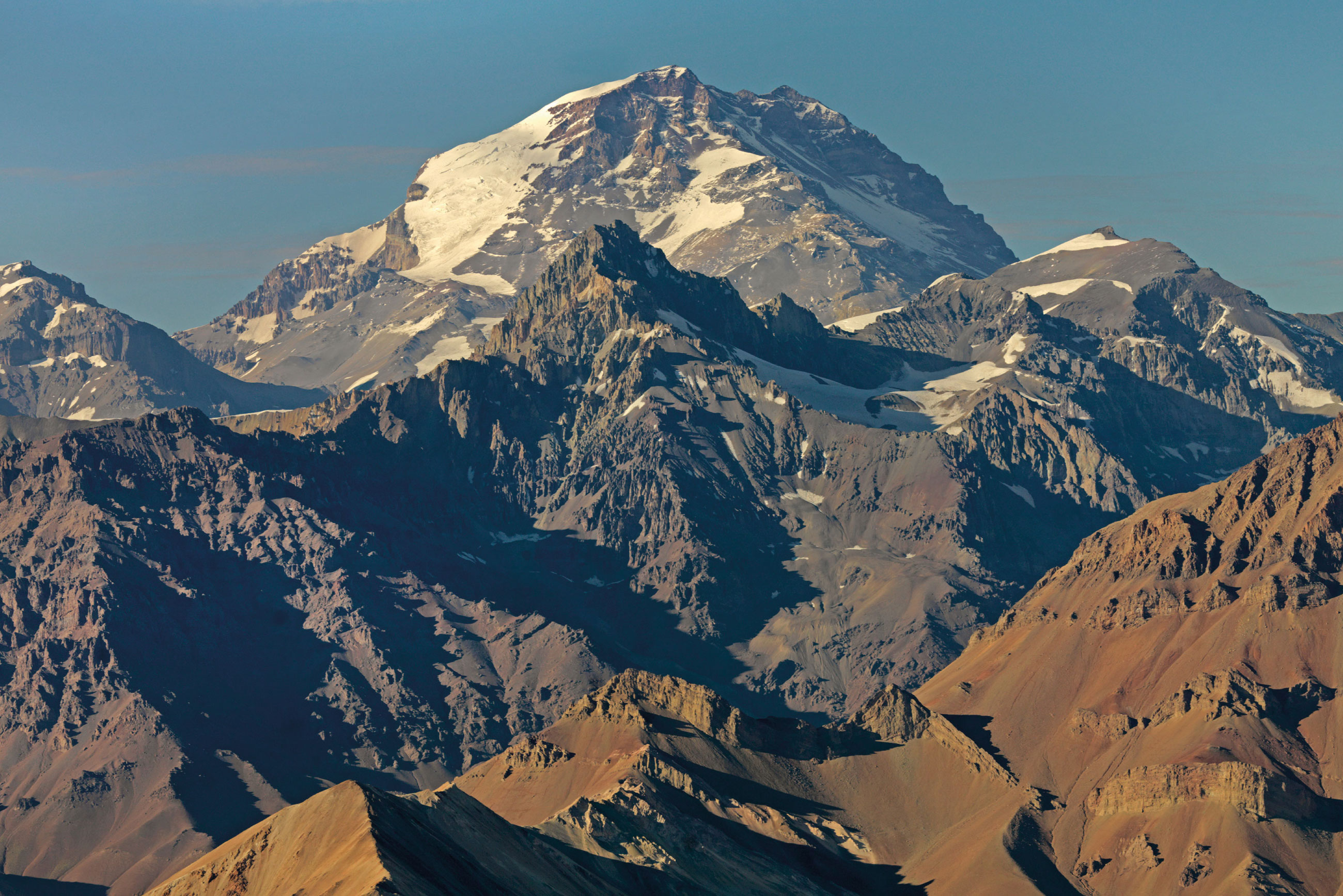
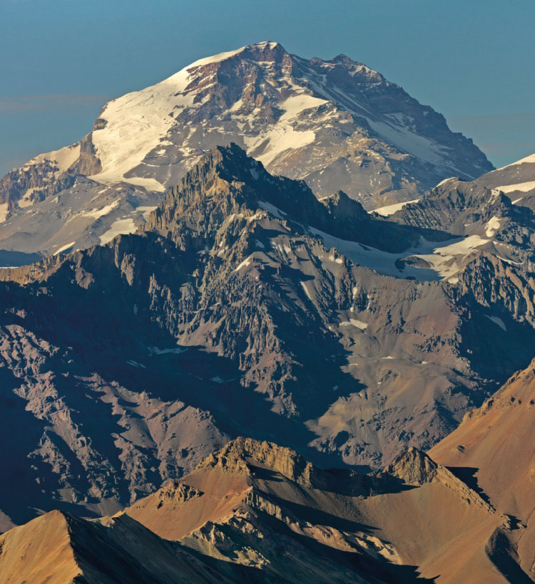
View from Espinacito mountain chain. This peak reaches 6,962 m.a.s.l.
Located at 4,536 m.a.s.l. this is the highest point of Los Patos trail.
Deriving mainly from the meltwater from the Andes mountains that trickles into the Los Patos River, combined with the Patos Sur river.
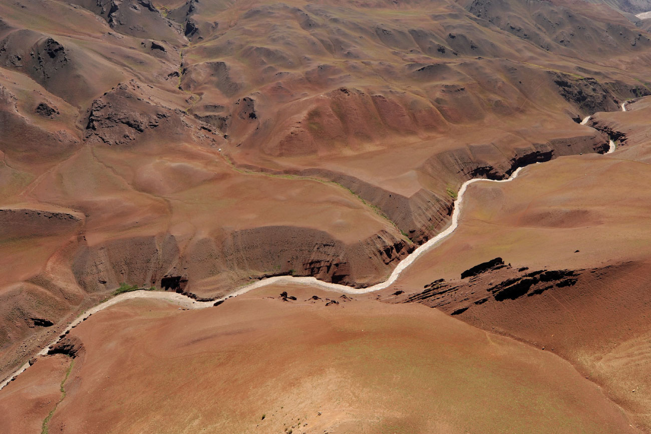
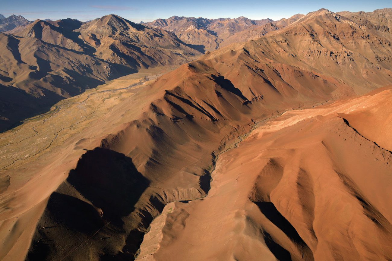
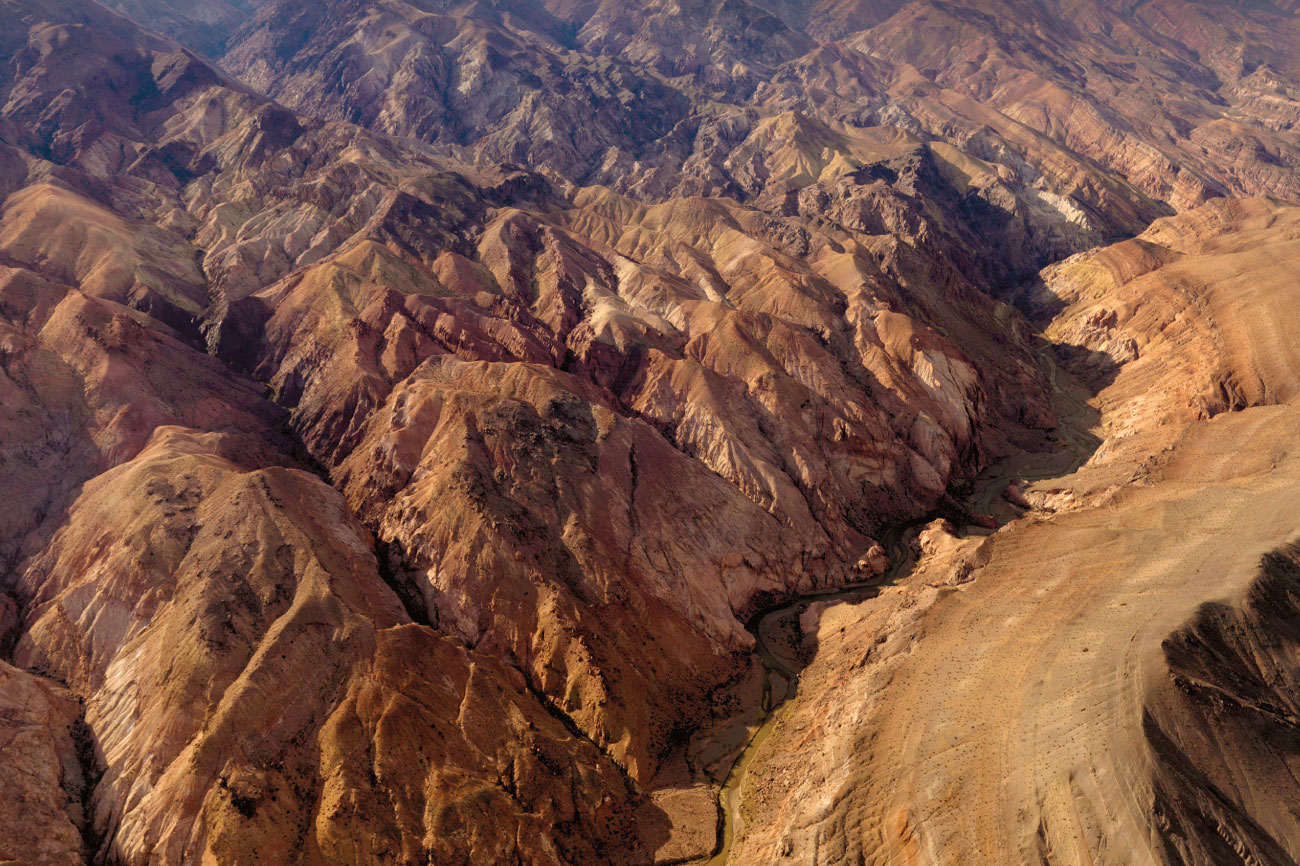
Curently known as the El Aleton. Dark, confined and rocky. Its slopes are sometimes cut off by landslides.
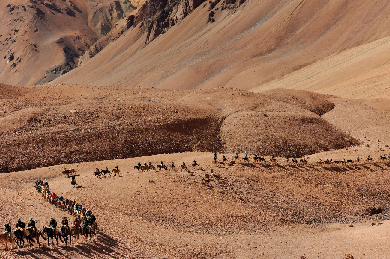
This location was part of the 11th segment of the excursion planned by San Martin.
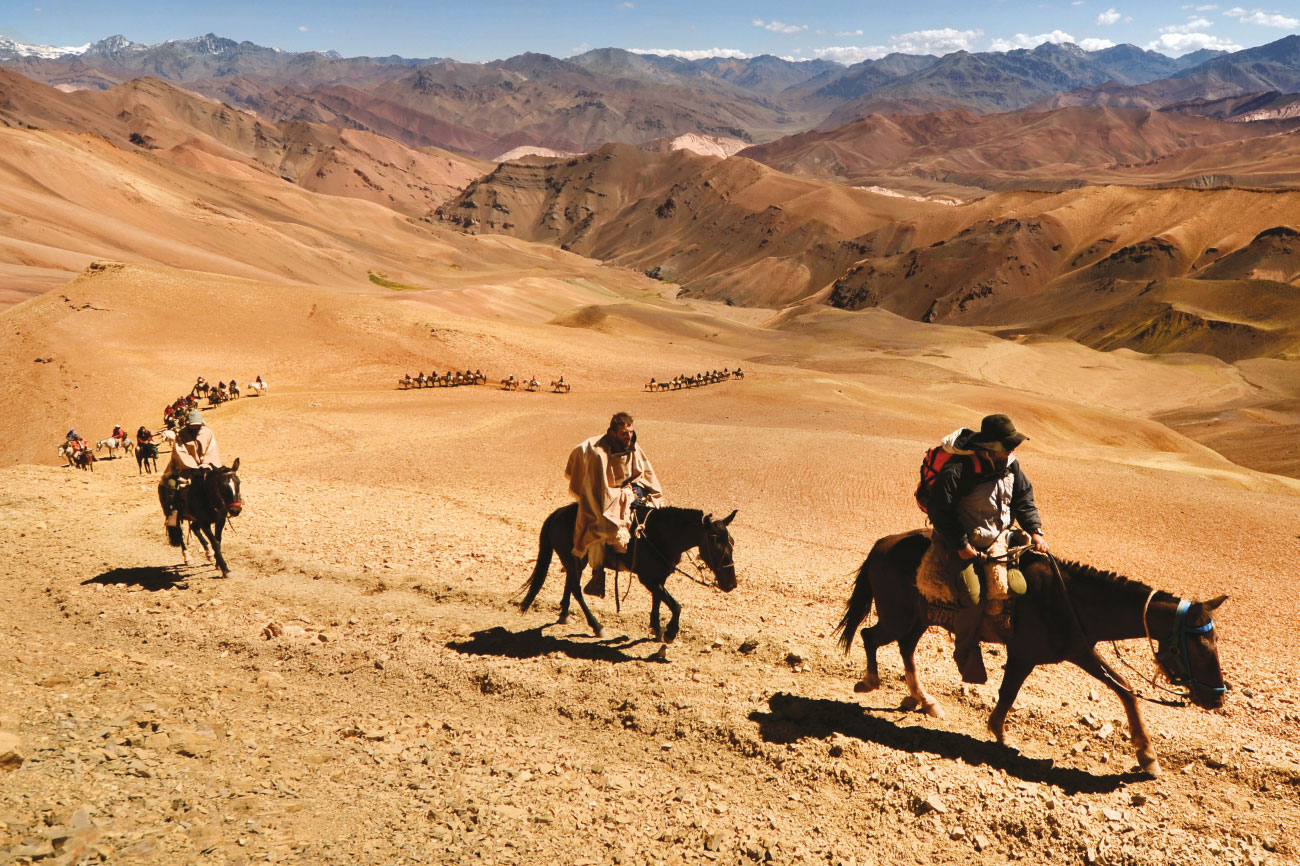
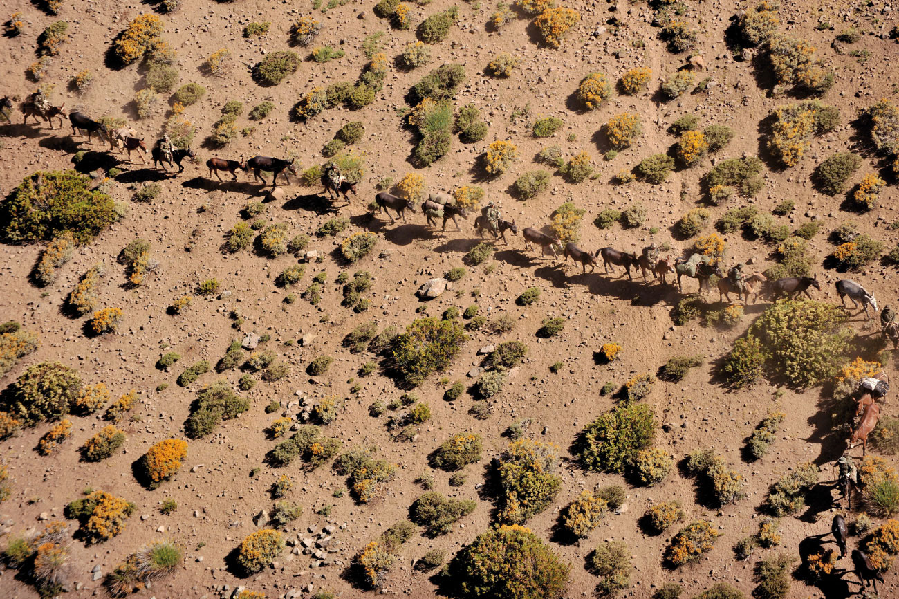
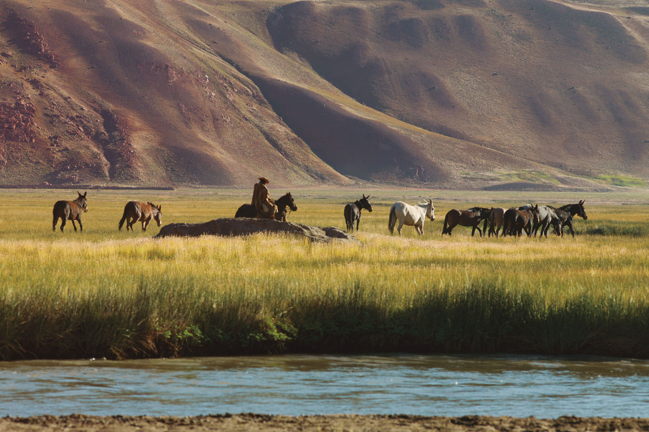
Every year thousands of people relive San Martin’s historic feat: crossing the Andes mountain range by mule.
Forming part of the frontal mountain range that is parallel to the main mountain range. It extends about 100 km from north to south, on the east of the Aconcagua and lays parallel to the Las Vacas valley.
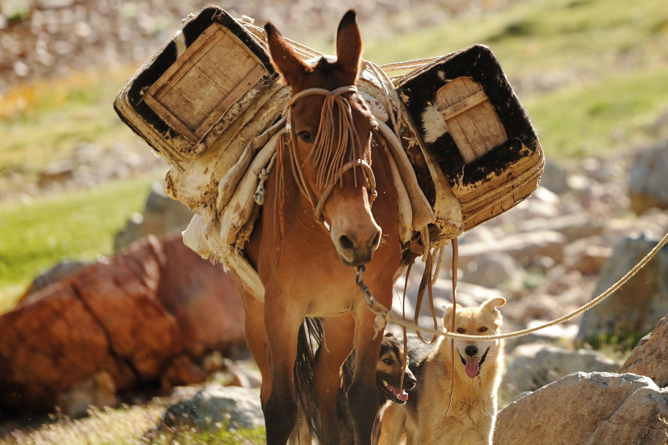
This mule belongs to the shepherds of Chile and transports cheese in packsaddles.
Local pasture in the Los Patos Sur Valley.
Photography / Los Andes Crossing